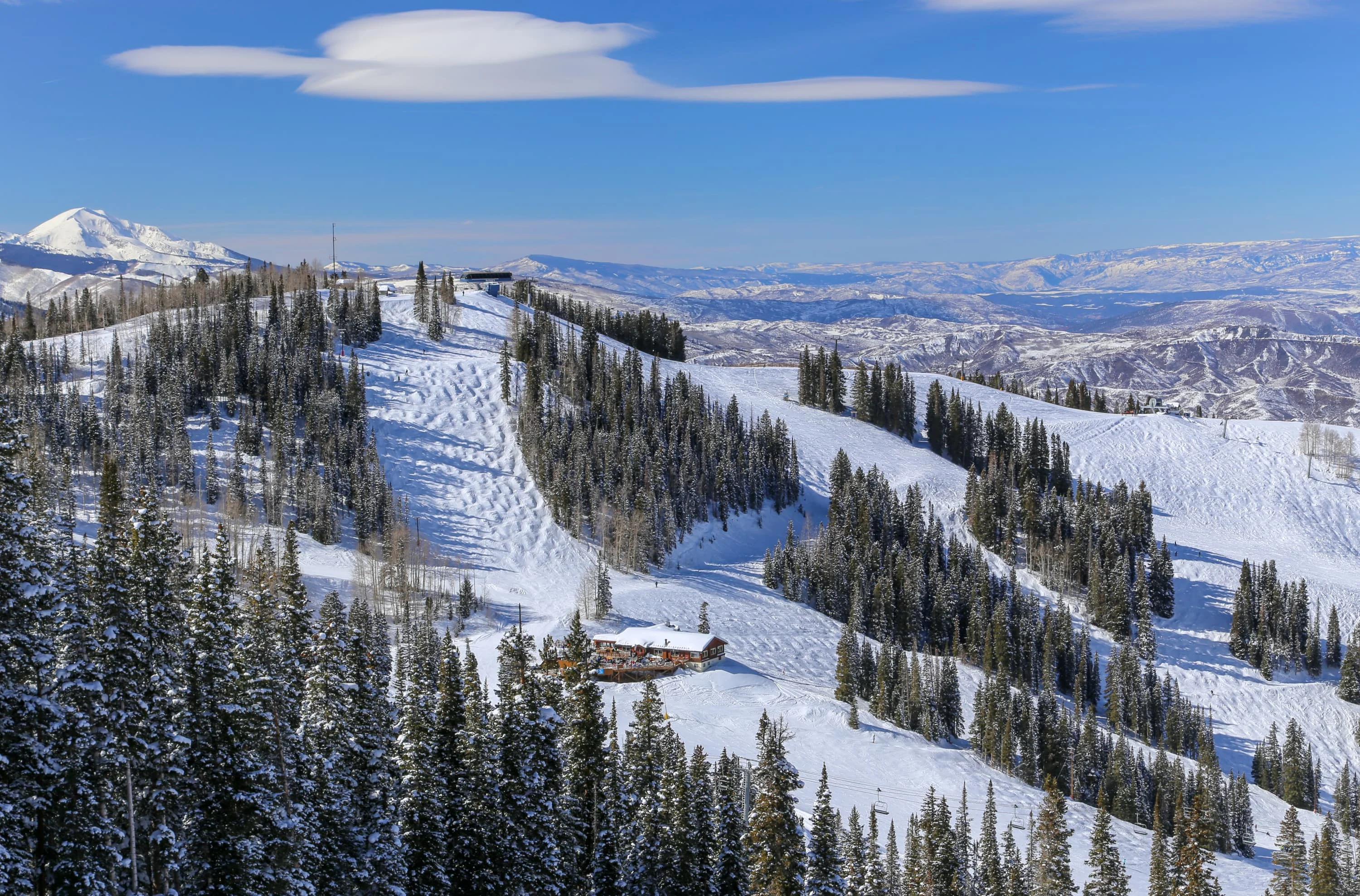
La Thuile is part of the Espace San Bernardo ski area, which also includes the neighbouring French ski resort of La Rosière, creating a total of over 160 km (99.4 mi) of ski runs. Plan your perfect ski holiday in advance: download the latest La Thuile piste map to familiarize yourself with the trails and lifts ahead of time.
La Thuile ski resort piste map
Plan your ski holiday ahead with our detailed piste map. Download it here, or pick up a copy at ticket offices and information points throughout La Thuile.

La Thuile piste map downloads
Click on the links below to download the latest La Thuile piste map
- La Thuile piste map pdf
- La Thuile piste map jpg
La Thuile best ski pistes
La Thuile offers a diverse mix of wide cruising runs, steep descents, and scenic cross-border skiing into France:
- Les Suches (Beginner - Blue): A gentle, open piste near the mid-station, perfect for warming up or building beginner confidence.
- Baby 1 (Beginner - Green): Located right by the village base, this short slope is ideal for first-time skiers and children.
- Bellecombe 1 (Intermediate - Red): A fun and scenic piste that offers fast cruising with rolling pitches.
- Bellecombe 2 (Intermediate - Red): Parallel to Bellecombe 1 but slightly narrower and more technical in sections.
- Piccolo San Bernardo (Intermediate - Blue): A mellow, picturesque piste crossing the French-Italian border with fantastic mountain views.
- Franco Berthod (Expert - Black): A steep and challenging World Cup run descending into La Thuile, only for expert skiers.
- San Bernardo (Intermediate - Red): A long and flowing piste that connects the two countries, perfect for exploring the binational ski area.
- Diretta (Expert - Black): A short but intense slope with steep gradients and hard-packed snow.
- Cascate (Intermediate - Blue): A wide and steady descent that winds down towards the valley floor.
- Vallon du Ruitor (Intermediate - Red): A secluded piste with a natural feel, ideal for quiet carving away from the crowds.
Espace San Bernardo in brief
- Base elevation: 1,190 m (3,904 ft)
- Highest elevation: 2,800 m (9,186 ft)
- Total ski runs: 90
- Longest ski run: 11 km (6.8 mi)
- Total skiable terrain: 150 km (93.2 mi)
- Cross-country runs: 25 km (15.5 mi)
- Artificial snow-making: 477 cannons
- Ski touring trails: 15 km (9.3 mi)
- Snowpark: 1
- Fun slope: 1
View all our resorts in Italy
Courmayeur - Sestriere - Sauze D'Oulx - Pinzolo - Cervinia - Livigno - Cortina d'Ampezzo - Selva Val Gardena - Campitello di Fassa - Madonna di Campiglio - Canazei - Ortisei - Val di Fiemme - 3 Zinnen Dolomites - La Thuile - Passo Tonale - Bardonecchia - Kronplatz - Alta Badia - Pila - San Martino di Castrozza