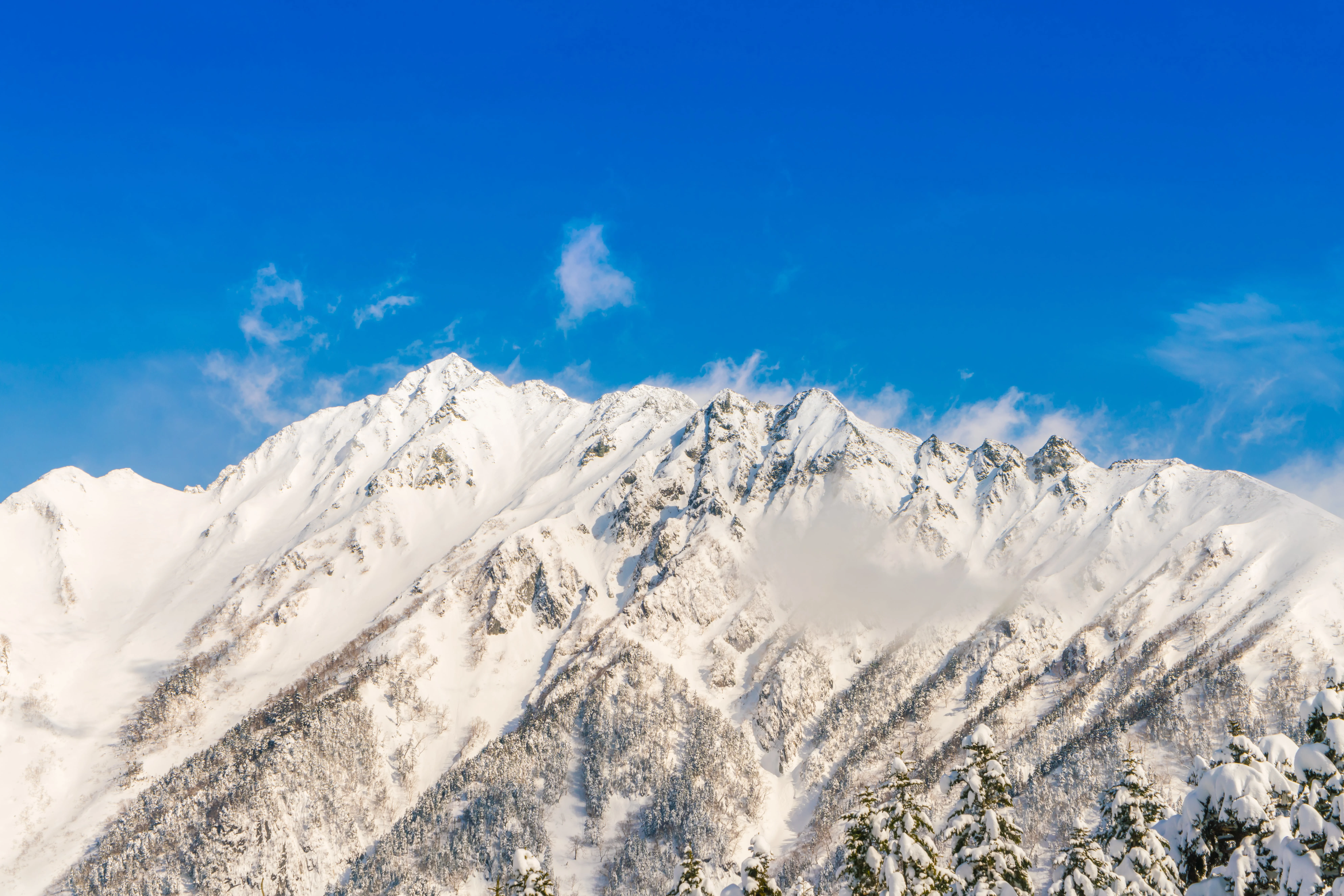
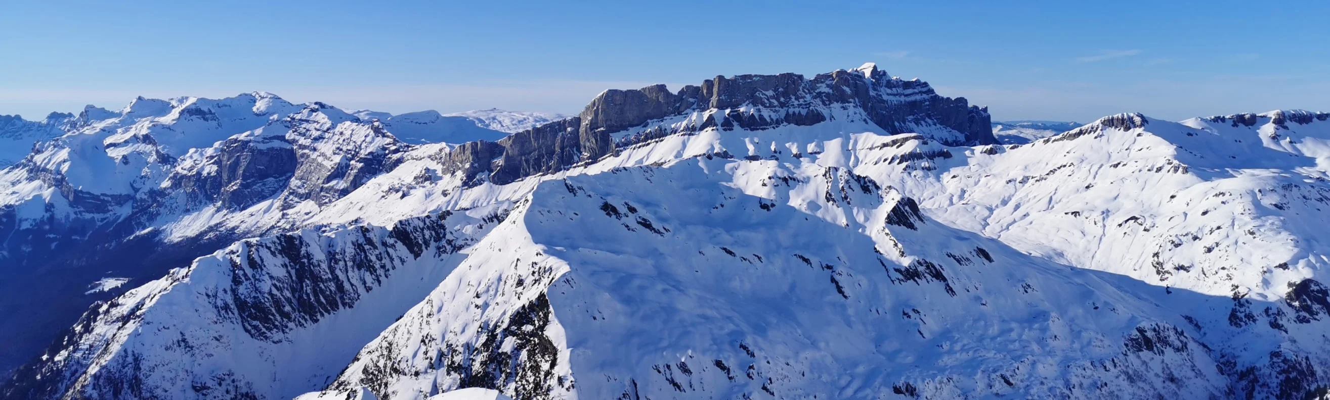
Courchevel is part of the larger Three Valleys ski area, which also includes the neighbouring resorts of Méribel and Val Thorens, creating a total of over 600 km (372 mi) of ski runs. Plan your perfect ski holiday in advance: download the latest Courchevel piste map to familiarize yourself with the trails and lifts ahead of time, ensuring you maximize your snow time.
Courchevel ski resort piste map
Plan your ski holiday ahead with our detailed piste map. Download it here, or pick up a copy at ticket offices and information points throughout Courchevel.

Courchevel piste map downloads
Click on the links below to download the latest Courchevel piste map
- Courchevel piste map pdf
- Courchevel piste map jpg
Courchevel best ski pistes
Courchevel features wide, immaculately groomed runs and renowned expert challenges:
- Le Grand Couloir (Expert - Black): Infamous for its steepness and moguls, one of the toughest marked runs in the Alps.
- Combe de la Saulire (Intermediate - Red): A long, smooth descent with sweeping alpine views.
- Combe Vallon (Expert - Black): Steep, fast, and north-facing, ideal for advanced skiers who enjoy a challenge.
- Jean Pachod (Intermediate - Red): A lesser-known gem that winds through quieter sections of the ski area.
- Signal (Intermediate - Blue): An easy cruising piste with gentle terrain and wide visibility.
- Creux (Intermediate - Red): One of Courchevel’s iconic runs, long, varied, and scenic.
- Chanrossa (Expert - Black): Technical and steep, with tight sections requiring precise control.
- Plan Fontaine (Beginner - Green): An accessible area perfect for newcomers and young skiers.
- Grandes Bosses (Intermediate - Red): Offers flowing terrain with great snow coverage.
- Eclipse (Expert - Black): Courchevel’s new World Cup piste, fast, technical, and exhilarating.
- Les Suisses (Expert - Black): Challenging with a fall-line descent and mogul sections.
- Bouc Blanc (Intermediate - Red): A popular connecting piste with consistent pitch and great grooming.
Courchevel in brief
- Base elevation: 1,300 m (4,265 ft)
- Summit elevation: 2,738 m (8,983 ft)
- Vertical drop: 1,400 m (4,593 ft)
- Kilometres of pistes: 150 km (93.2 mi)
- Number of pistes: 109
- Type of pistes: 21 green, 41 blue, 36 red, 11 black
- Lifts: 63
- Longest run: 7.7 km (4.8 mi)
- Terrain parks: 1
View all our resorts in France
Val Thorens - La Plagne - Chamonix - Tignes - Avoriaz - Val d'Isère - Méribel - Les Arcs - Les Menuires - Courchevel - Flaine - La Clusaz - Serre Chevalier - Samoëns - La Rosière - Montgenèvre - Val Cenis - Megève - St Martin de Belleville - Les Contamines Montjoie - Les Saisies - Isola 2000 - Risoul - Les Houches - Valmorel - Les Carroz - Les Orres - Les Gets - Morzine - Les Deux Alpes - Alpe d'Huez - Vaujany - Les Sybelles - Sainte Foy Tarentaise - Saint Gervais les bains - Châtel