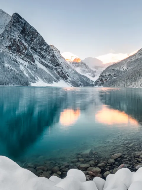
Morzine is part of the extensive Portes du Soleil ski area, which also includes the neighboring resorts of Avoriaz, Châtel, and Les Gets, offering a combined total of over 650 km (403 mi) of ski runs. Plan your perfect ski holiday in advance: download the latest Morzine piste map to familiarize yourself with the trails and lifts ahead of time, ensuring you maximize your ski time.
Morzine ski resort piste map
Plan your ski holiday ahead with our detailed piste map. Download it here, or pick up a copy at ticket offices and information points throughout the ski resort.

Morzine piste map downloads
Click on the links below to download the latest Morzine/Les Gets piste map
- Morzine piste map pdf
- Morzine piste map jpg
Morzine best ski pistes
Morzine offers varied skiing, including famous challenges and gentle family runs:
- L'Aigle (Intermediate - Red): A scenic run that carves through alpine terrain with wide, flowing turns and reliable snow coverage.
- L'Arbis (Intermediate - Red): A fast, fun piste with good vertical drop, offering playful rollers and sweeping curves.
- Nabor (Intermediate - Red): Ideal for progressing skiers looking for a step up in difficulty without intimidating steeps.
- Les Granges (Intermediate - Red): Surrounded by tree-lined scenery, this run offers a peaceful yet challenging descent.
- Le Stade (Intermediate - Red): Occasionally used for local races, it features steady inclines and compact snow.
- La Piste B (Intermediate - Red): A classic local favourite, well-groomed and versatile for a range of skier levels.
- La Tulipe (Intermediate - Red): Smooth, wide piste ideal for practicing carving turns.
- Le Pleney (Beginner - Blue): A long, accessible descent from Morzine’s main mountain with easy terrain and great views.
- The Swiss Wall (Le Pas de Chavanette) (Expert - Black): Famous for its moguls and steep gradient, only for the boldest expert skiers.
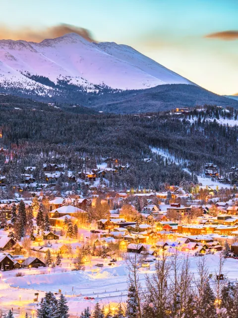
Morzine ski resort in brief
- Number of pistes: 37
- Type of pistes: 8% green, 43% blue, 41% red, 8% black
- Skiable terrain: 110 km (68.4 mi)
- Number of ski lifts: 21
- Base elevation: 1,000 m (3,281 ft)
- Top elevation: 2,000 m (6,562 ft)
- Vertical drop: 1,466 m (4,810 ft)
- Artificial snow-making: 98 ha (242 acres)
- Snow park: yes
- Boarder cross: yes
- Halfpipe: yes
- Night skiing: yes
View all our resorts in France
Val Thorens - La Plagne - Chamonix - Tignes - Avoriaz - Val d'Isère - Méribel - Les Arcs - Les Menuires - Courchevel - Flaine - La Clusaz - Serre Chevalier - Samoëns - La Rosière - Montgenèvre - Val Cenis - Megève - St Martin de Belleville - Les Contamines Montjoie - Les Saisies - Isola 2000 - Risoul - Les Houches - Valmorel - Les Carroz - Les Orres - Les Gets - Morzine - Les Deux Alpes - Alpe d'Huez - Vaujany - Les Sybelles - Sainte Foy Tarentaise - Saint Gervais les bains - Châtel