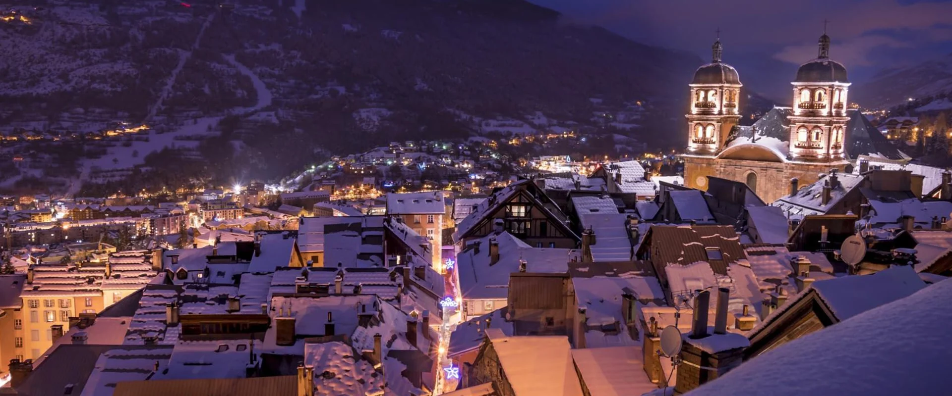
Serre Chevalier is one of the largest ski resorts in Europe, offering over 250 km of ski runs. Plan your perfect ski holiday in advance: download the latest Serre Chevalier piste map to familiarize yourself with the trails and lifts ahead of time, ensuring you maximize your snow time.
Serre Chevalier ski resort piste map
Plan your ski holiday ahead with our detailed piste map. Download it here, or pick up a copy at ticket offices and information points throughout Serre Chevalier.

Serre Chevalier piste map downloads
Click on the links below to download the latest Serre Chevalier piste map
- Serre Chevalier piste map pdf
- Serre Chevalier piste map jpg
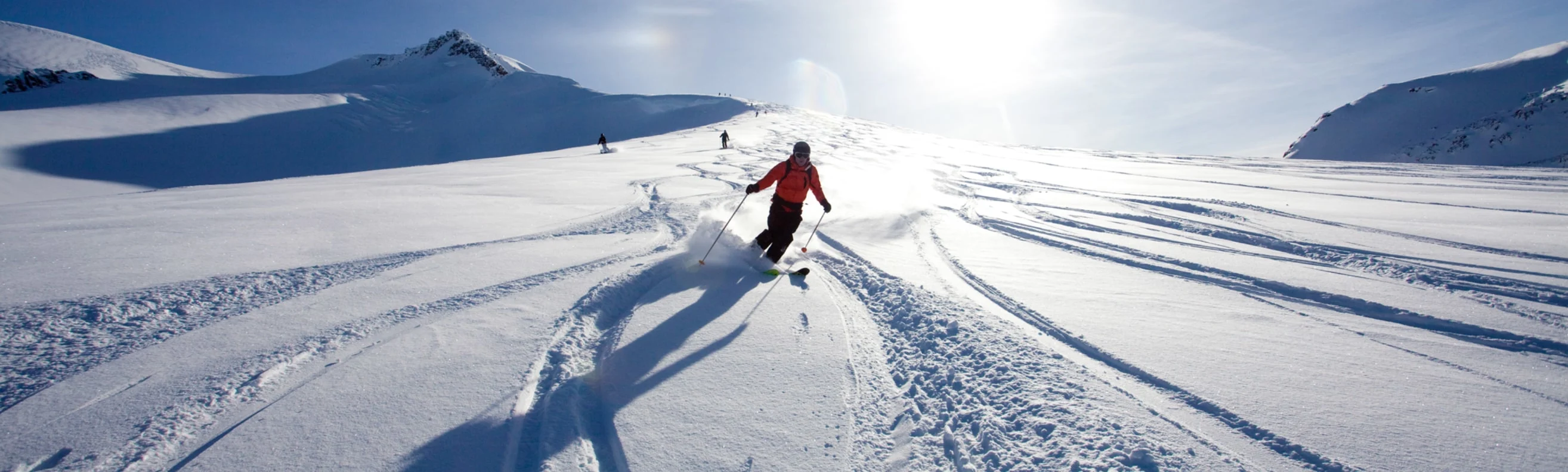
Serre Chevalier best ski pistes
Serre Chevalier offers a blend of high-alpine bowls, wooded descents, and long scenic runs across its expansive valley:
- Luc Alphand (Expert - Black): Named after the local Olympic champion, this steep World Cup piste features challenging turns and a thrilling drop into Chantemerle.
- Aiguillette (Intermediate - Red): A long, flowing piste that offers wide turns and beautiful views over the Briançon valley.
- Cucumelle (Intermediate - Red): A favourite among intermediates, this piste offers fast descents and sweeping curves from the top of the Cucumelle ridge.
- Echaillon (Beginner - Blue): A peaceful and well-groomed slope, ideal for progressing skiers near Monêtier.
- Clot Gauthier (Intermediate - Red): A fun and rolling run, known for its excellent grooming and varied terrain.
- Allefroide (Intermediate - Blue): A gentle piste cutting through pine forests, perfect for a relaxed cruise.
- Draye (Expert - Black): A narrow, demanding run with natural bumps and off-piste feel.
- La Cets (Beginner - Green): An accessible slope for complete beginners near the Frejus area.
- Casse du Boeuf (Expert - Black): Steep and direct, this technical piste challenges even experienced skiers.
- Melezone (Expert - Black): A snowpark-inspired natural slope with playful terrain features.
- Vallons (Intermediate - Red): Wide and scenic, offering long descents from the top of Serre Ratier.
Serre Chevalier in brief
- Number of pistes: 104
- Types of pistes: 23 green, 28 blue, 37 red, 16 black
- Kilometers of ski pistes: 250 km (155 mi)
- Base elevation: 1,200 m (3,937 ft)
- Highest elevation: 2,800 m (9,186 ft)
- Vertical drop: up to 1,600 m (5,249 ft)
- Longest ski run: 9 km (5.5 mi)
- Kilometers of cross-country pistes: 40 km (24.8 mi)
- Artificial snow-making: 598 cannons
- Ski touring trails: 35 km (21.7 mi)
- Snowpark: 1
- Fun slope: 1
View all our resorts in France
Val Thorens - La Plagne - Chamonix - Tignes - Avoriaz - Val d'Isère - Méribel - Les Arcs - Les Menuires - Courchevel - Flaine - La Clusaz - Serre Chevalier - Samoëns - La Rosière - Montgenèvre - Val Cenis - Megève - St Martin de Belleville - Les Contamines Montjoie - Les Saisies - Isola 2000 - Risoul - Les Houches - Valmorel - Les Carroz - Les Orres - Les Gets - Morzine - Les Deux Alpes - Alpe d'Huez - Vaujany - Les Sybelles - Sainte Foy Tarentaise - Saint Gervais les bains - Châtel